


Mit Flo & David
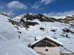
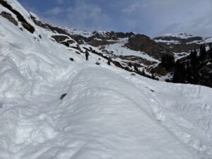
Map of the route “Hohe Kreuzspitze”: 12.530 m, 1.356 m of climbing and 1.355 m of descent, elevation between 1.500 m and 2.750 m, time 04:27:40. It is a loop that starts and ends at 46.86840, 11.25196 (latitude, longitude).
Gesamtstrecke: 12557 m
Maximale Höhe: 2751 m
Minimale Höhe: 1500 m
Gesamtanstieg: 1356 m
Gesamtabstieg: 1355 m
Download file: Hohe_Kreuzspitze.gpx
Maximale Höhe: 2751 m
Minimale Höhe: 1500 m
Gesamtanstieg: 1356 m
Gesamtabstieg: 1355 m